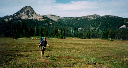
Party: Mountaineers - Ross Prather (ldr), Laura Prather, Joe, Tracy and I
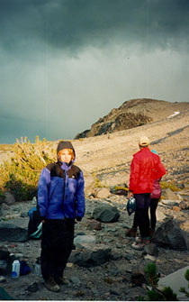
Tracy had been sick the entire past week and decided not to join us on the summit bid. She stayed at camp all day... expecting that we would not be the only ones on the mountain that day, it came as a surprise and thence a lonely erie day that not a single soul passed by.
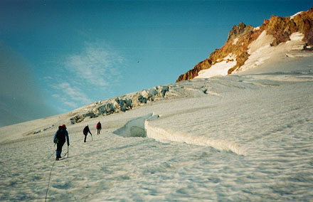
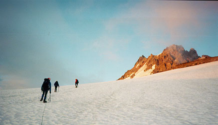
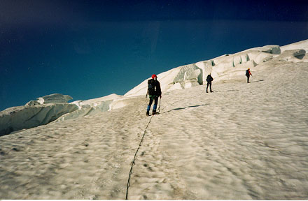
The whitewater glacier had some of the more interesting crevasse navigation I have come across to date. There were times where only one path appeared like it might go... if it didn't we would not have made it. Here are some images of the glacial terrain:
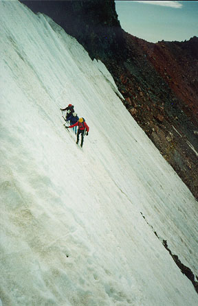
The most technical portion of the climb was the steep snow traverse between the red saddle and the north end of the summit pinnacle. It is just longer than a ropelength, so belaying across would require a midpoint anchor and significant time consumption. Since there was a decent step-path across the slope we decided to do the traverse unroped. It is clearly a no-fall situation: a fall would have you sliding a long way, probably shredding yourself on the occasional rock outcropping before stopping... dead. Pretty stimulating....
The way back, the snow was a little softer.... my axe placements were a little less secure, but the steps were deeper and easier to kick.
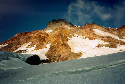
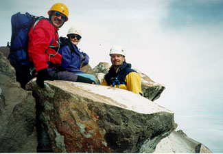
The summit pinnacle:
Now take note: Jeff Smoot's Guide to the Cascade Volcanoes claims that the summit pinnacle of Jefferson is quite ugly and not the reason you want to climb this mount. Additionally, he implies the SW ridge to the red pass is much better rock.
For the record, this is completely opposite of what we experienced. The ridge to red-pass was close to awful, crumbly scree with solid patches. This makes for strenuous climbing and a frustrating descent... you cant glissade the scree since you continually catch on the solid rock.
The summit pinnacle on the other hand was quite nice. The rock is very solid, no loose scree, some nice slabs and even things that could be considered useable cracks. Ok, there was one loose block that caught me off guard descending the pinnacle, but other than that, disregard Smoot's comments!
Return to Gord's Climbing Page